Location:
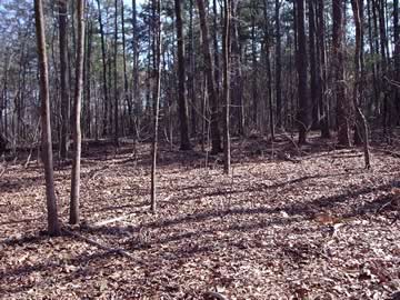
From the Baldwin County Courthouse, go west on Hancock Street for 2 blocks or 0.2 mile (or the one large block containing Georgia College & State Univ.). Turn right on Clarke Street. Go one large block or 0.2 mile. Turn left onto Business Highway 441 North (Montgomery St.) and follow the signs for Business 441 N (turn right on North Columbia St.). Go approximately 5.4 miles on 441N. Turn left on Kenan Drive. Drive 0.8 mile. At the back of the house on the left at 190 Kenan Drive is the cemetery. The cemetery extends from about 50 feet behind the house to nearly the lot line at the back, and may extend into the lot to its northeast at 184 Kenan.
GPS coordinates: 33 08' 35.1" N 83 16' 58.8" W
or in degrees only form: 33.14308° N X 83.283° W
See location on a Google map in a new window (
NOTE:The map opens in a new window. The cemetery will be at the location indicated by a red marker.)
GMD: 318
Cemetery Status: Inactive
Predominant race: Both Black and White
On Baldwin County tax map #66-21
This cemetery dates from at least 1828, when John Neves, the land owner, probably died.
Unmarked Grave - Catherine Jewel Neves
w/o John Neves, per Baldwin County marriage records. Is probably buried here.
Grave 2


